Cazin
MTB Staza: “Stovrela Park - Krčane Park”
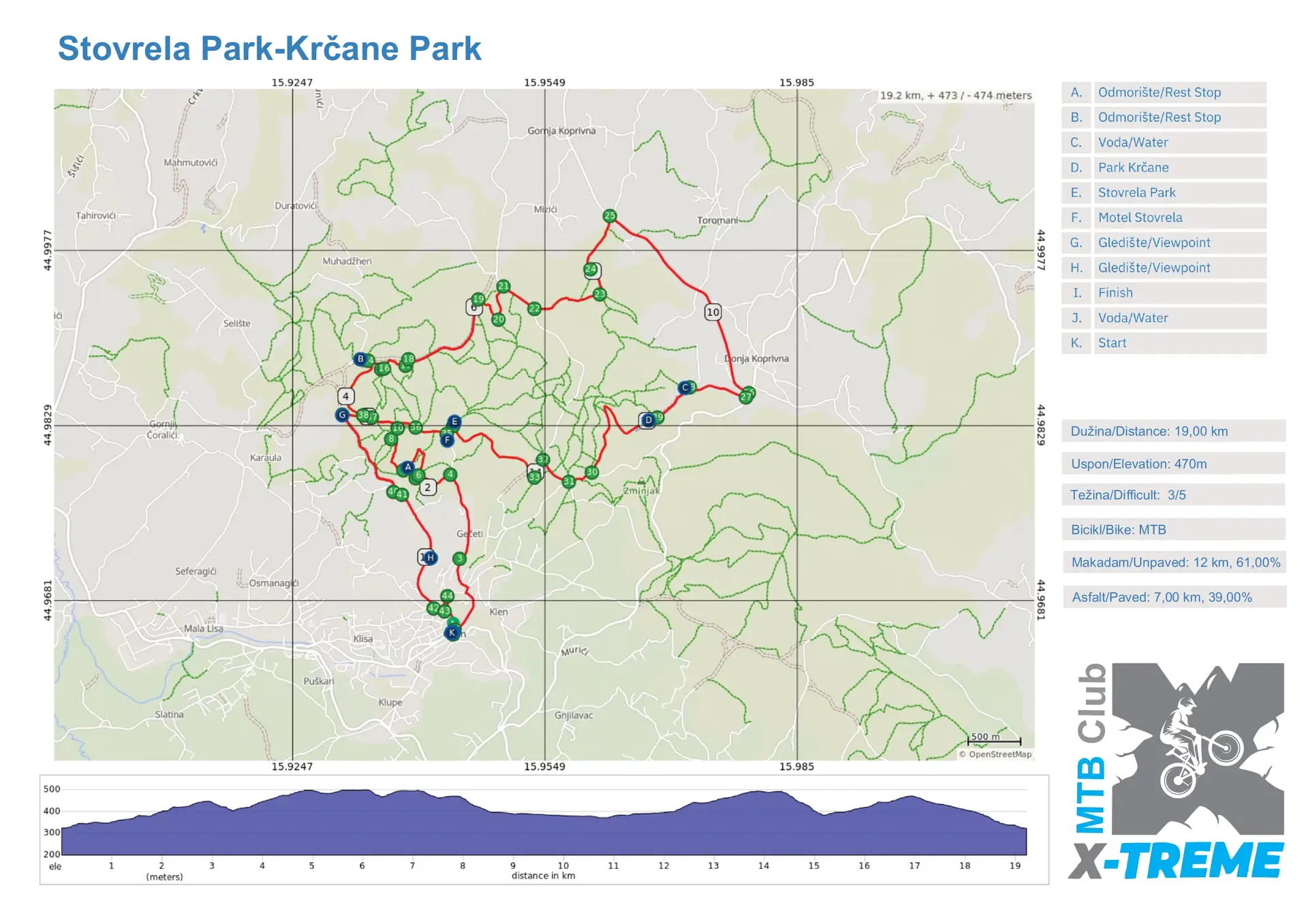
Start: Kružni tok Cazin
- Dužina/Lenght: 19 km
- Uspon/Elevation: 470 m
- Težina/Difficult: 3/5
- Bicikli/Bike: MTB
- Makadam/Unpaved: 12 km, 61%
- Asfalt/Paved: 7 km, 39%
Opis rute
MTB Staza: “Stovrela Park – Krčane Park”
Lokacija: Cazin-okolica
Dužina: 19 km
Ukupni uspon: 470 m
Težina: Srednje zahtjevna (kombinacija makadama, šumskih staza i tehničkih spustova)
Opis:
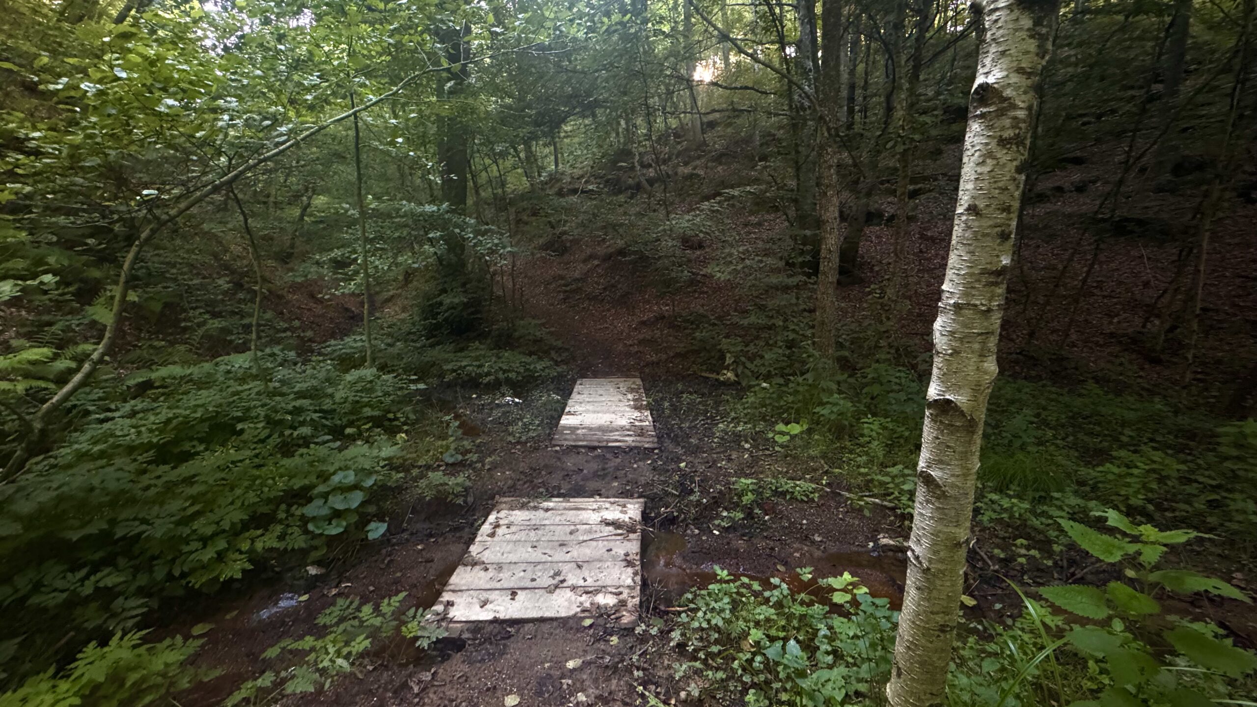
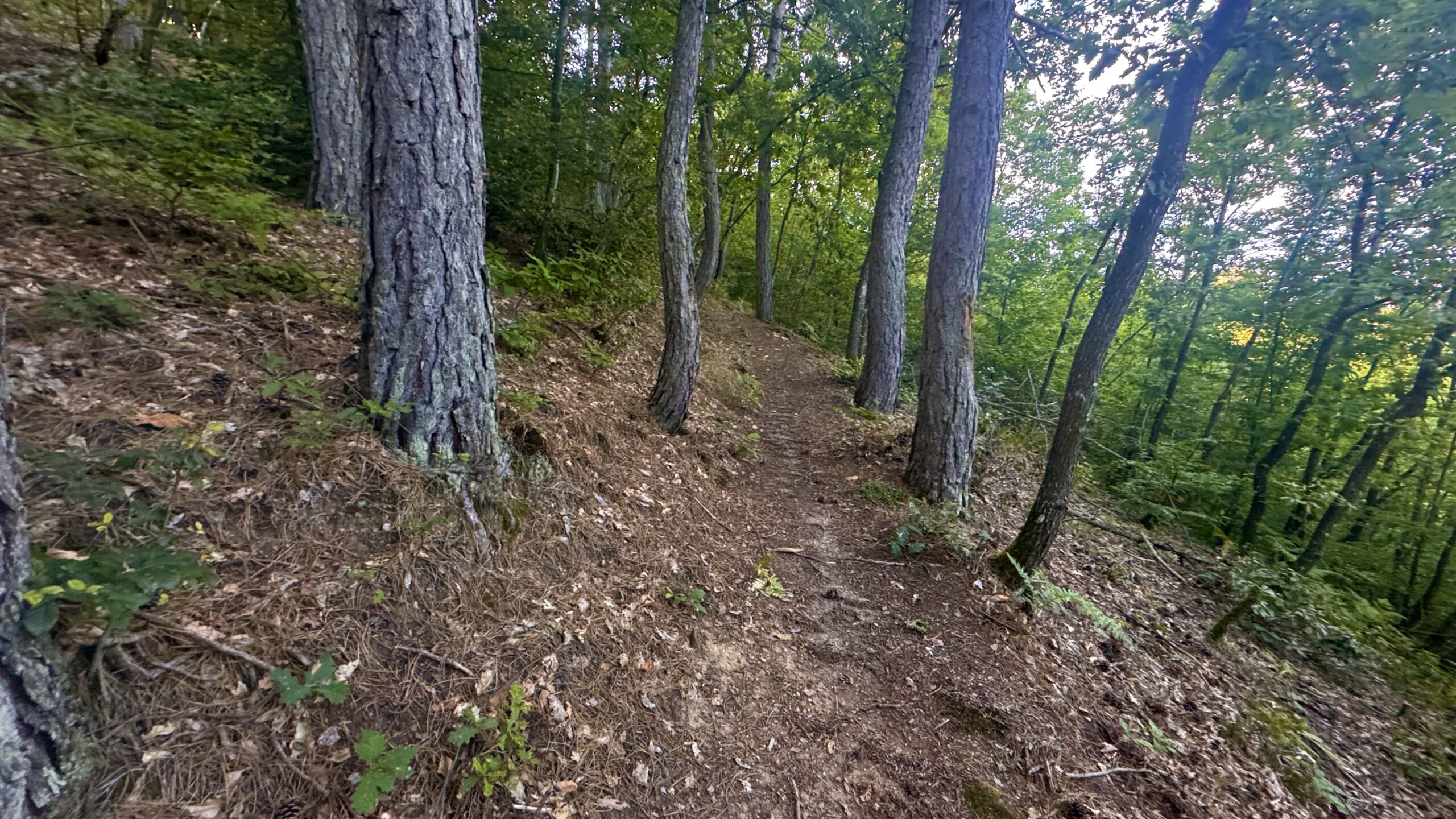
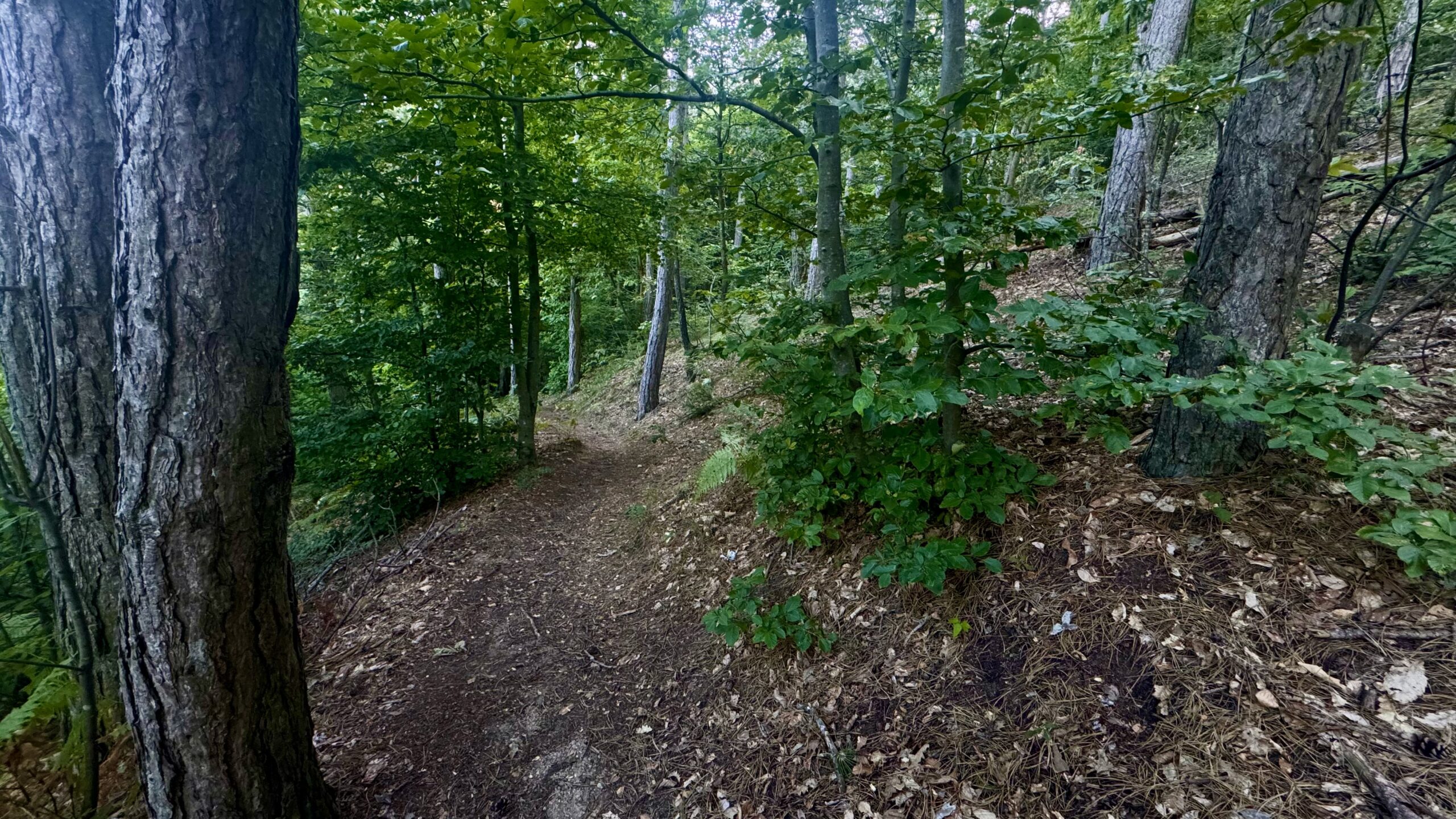
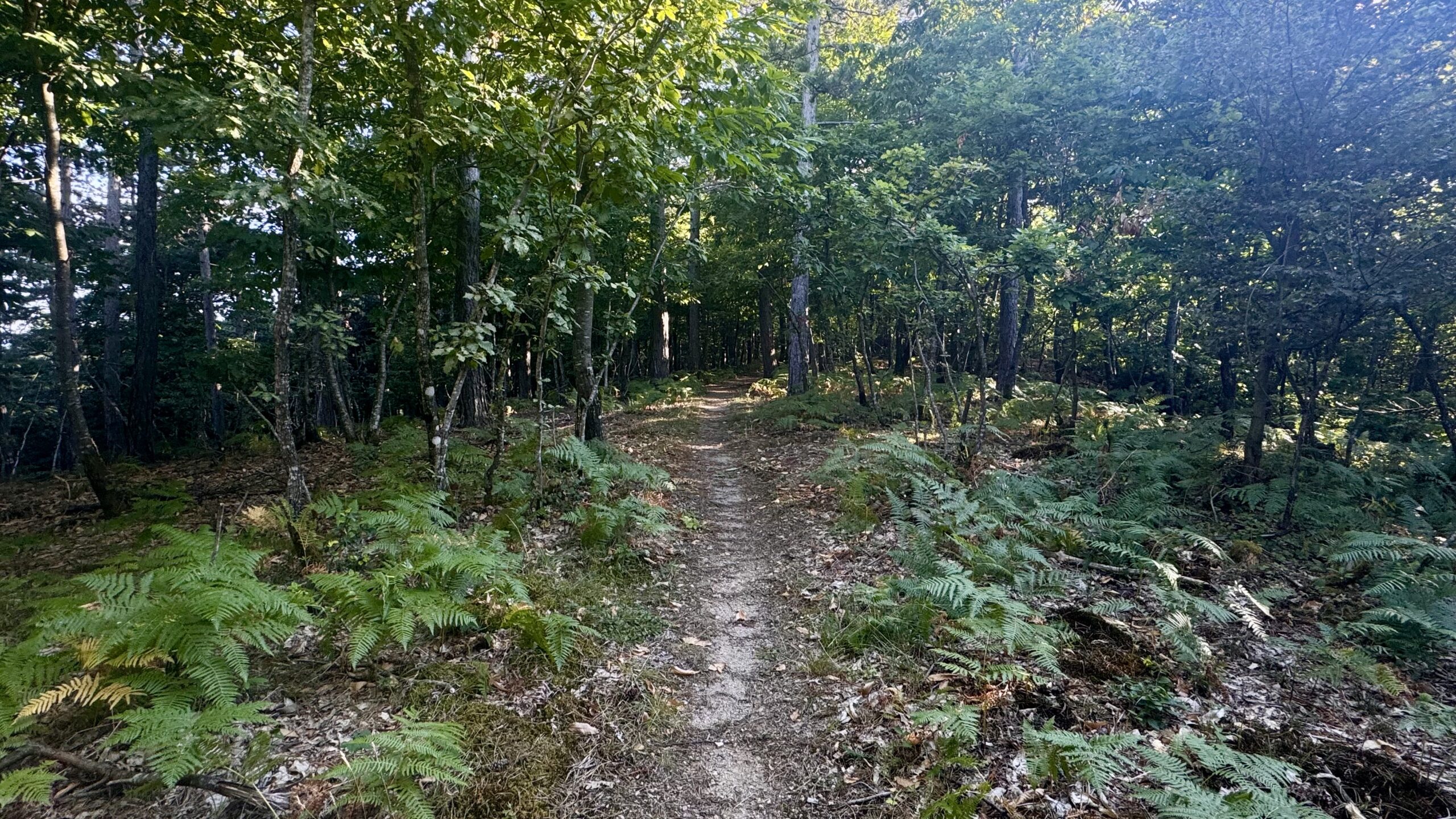
Ruta započinje iz centra Cazin do parka Stoverla gdje se ulazi u šumu,teren postaje uski singletrack sa korijenjem i kamenjem, što traži dobru tehniku vožnje.
Tehnički singl kroz šumu sa kratkim serpentinama, manjim dropovima, brzim dijelovima makadama.
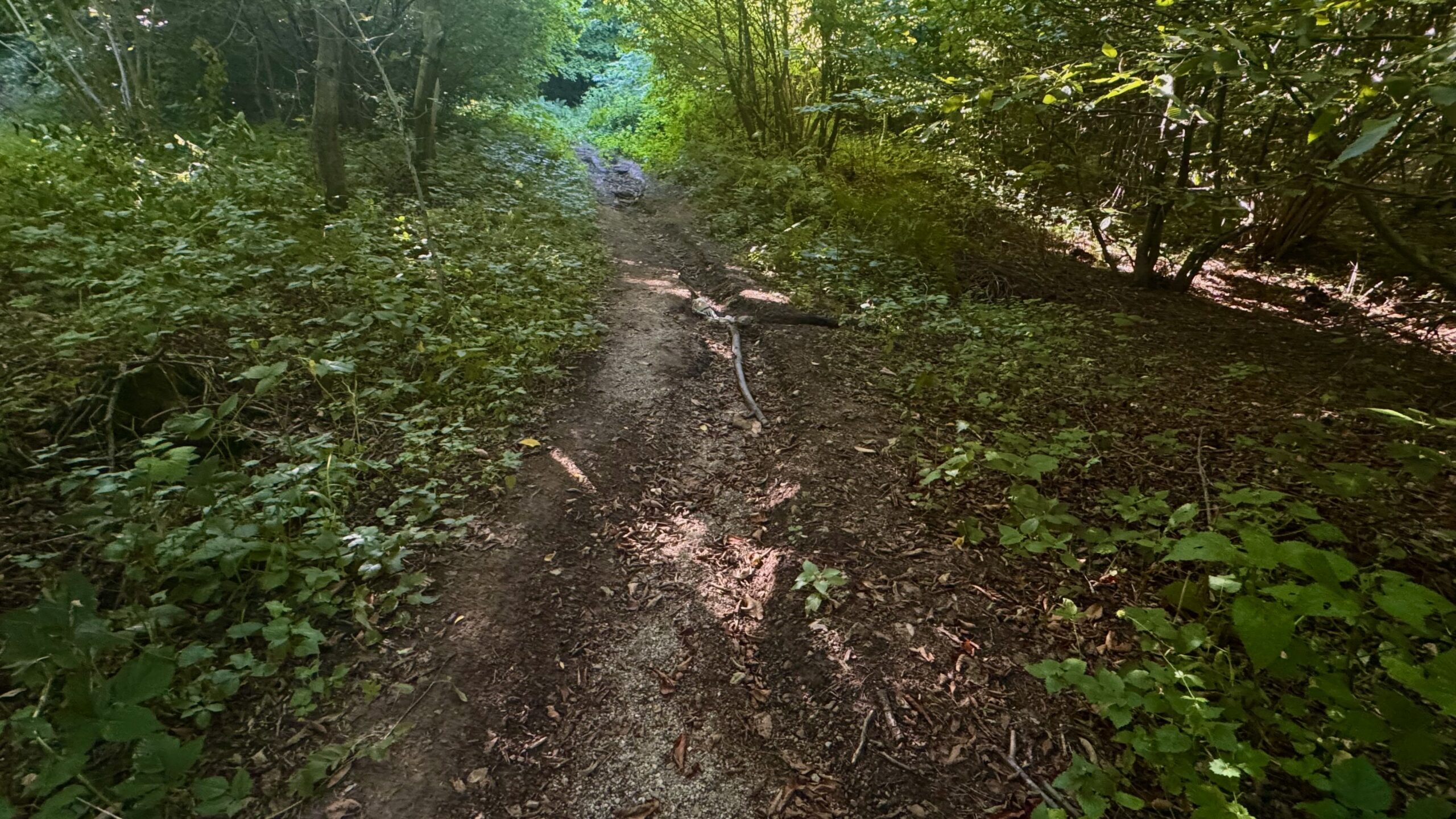
Podloga: kombinacija asfalta, utabanog makadama, šumskog tla, stijena i nekoliko kratkih blatnjavih dionica poslije kiše.
Route description
Location: Cazin area
Length: 19 km
Total elevation gain: 470 m
Difficulty: Moderately challenging (a mix of gravel roads, forest trails, and technical descents)
Description:
The route starts from the center of Cazin and leads to Stovrela Park, where it enters the forest. The terrain turns into a narrow singletrack with roots and rocks, requiring good riding technique.
A technical singletrack through the forest with short switchbacks, small drops, and fast gravel sections.
Surface: A mix of asphalt, compacted gravel, forest ground, rocks, and a few short muddy sections after rain.